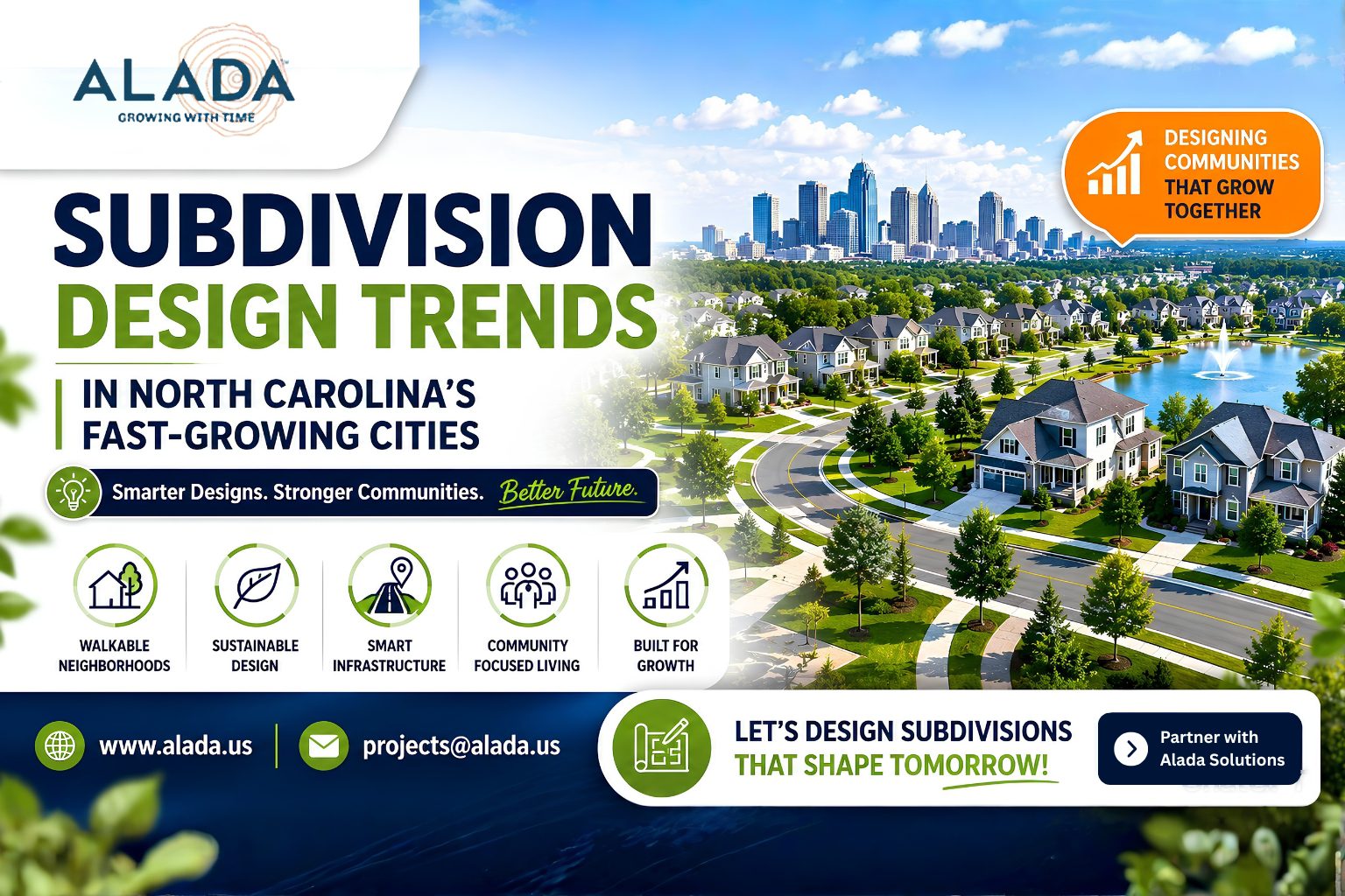
admin, Author at Alada

why-boundary-survey-accuracy-is-critical-for-texas-subdivision-projects

Why Boundary Survey Accuracy Is Critical for Texas Subdivision Projects

Subdivision development in Texas is growing rapidly due to increasing residential, commercial, and mixed-use development projects. However, one of the most important yet often underestimated aspects of any successful subdivision project is boundary survey accuracy. Accurate boundary surveys form the foundation of land development planning, engineering design, permitting, legal compliance, and construction execution. Even a […]

survey-drafting-services-in-Florida

How Survey Drafting Helps Faster Permit Approval in Florida

Florida’s rapid growth in residential, commercial, and infrastructure development has significantly increased the demand for accurate engineering documentation and faster permit approvals. In cities like Miami, Orlando, Tampa, and Jacksonville, construction and land development projects often face delays due to incomplete drawings, inaccurate site information, and compliance-related issues. This is where survey drafting services in […]

Land Development Design Services in the UAE: Process, Cost & Approval Guide (2026)

The United Arab Emirates continues to lead global growth in construction and real estate, with rapid expansion across Dubai, Abu Dhabi, and emerging emirates. For developers, investors, and engineering firms, successful land development is not just about design—it is about navigating approvals, controlling costs, and accelerating timelines. If you are planning a project in the […]

Dubai’s Real Estate Expansion 2026: Why Land Development Design Services Are in High Demand

In 2026, Dubai continues to dominate global headlines with its rapid real estate expansion. From luxury residential communities to large-scale commercial and mixed-use developments, the city is witnessing unprecedented growth. This surge is not only reshaping the skyline but also significantly increasing the demand for land development design services, which play a crucial role in […]

Delaware Container Terminal Project 2026 to Boost US Infrastructure and Land Development

Dover, Delaware – 2026  A major infrastructure development is underway in Delaware as the Delaware Container Terminal Project 2026 moves forward, marking a significant step in strengthening the United States’ logistics and trade capabilities. The project is expected to enhance port capacity, improve supply chain efficiency, and support regional economic growth.    Project Overview  The Delaware Container Terminal aims […]

Top Land Development Design Trends in New Zealand for 2026: Sustainable, Smart & Cost-Effective Solutions

Land development design in New Zealand for 2026 is driven by sustainability, smart technology integration, and cost-efficient planning. Developers are focusing on climate-resilient infrastructure, AI-powered design tools, and mixed-use urban planning to meet regulatory standards and market demand. Introduction New Zealand’s land development sector is evolving rapidly due to climate regulations, urban expansion, and infrastructure […]

3D Visualization in Land Development: Helping 2026 Stakeholders Approve Projects Faster

In modern land development projects, delays are no longer driven by design limitations they are driven by slow stakeholder approvals. Developers, civil engineers, and planning consultants often face: Unclear 2D drawings Misinterpretation across teams Multiple revision cycles Delayed investor or authority approvals These inefficiencies result in extended timelines, increased costs, and lost opportunities. 3D visualization […]

How Intelligent Transportation Engineering Solutions Minimize Traffic Congestion

Traffic congestion has become one of the most pressing challenges in urban areas across the United States. From cities like New York and Los Angeles to rapidly growing suburban regions, increasing vehicle density, outdated infrastructure, and inefficient traffic systems are leading to longer commute times, higher fuel consumption, and rising environmental concerns. According to transportation […]

The Future of Land Survey Drafting: Precision Tools & Automation in 2026

The construction and land development industry is evolving rapidly, driven by the need for accuracy, speed, and cost-efficiency. At the core of this transformation lies land survey drafting automation, a game-changing approach that is redefining how surveying data is processed and utilized. Traditional land survey drafting methods often involve manual workflows, higher chances of errors, […]

Benefits of GIS Mapping for Urban Planning in Major US Cities (2026 Guide)

Urban development in major U.S. cities is becoming increasingly complex due to population growth, infrastructure demands, and sustainability requirements. City planners and land developers must analyze large volumes of geographic and spatial data before making critical planning decisions. This is where Geographic Information System (GIS) mapping plays a crucial role. By integrating geospatial intelligence with […]