• Archive for category "Alada"

Alada Archives - Alada

3D Visualization in Land Development: Helping 2026 Stakeholders Approve Projects Faster

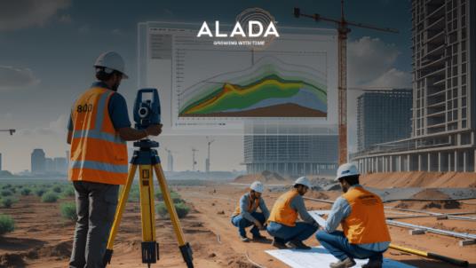
In modern land development projects, delays are no longer driven by design limitations they are driven by slow stakeholder approvals. Developers, civil engineers, and planning consultants often face: Unclear 2D drawings Misinterpretation across teams Multiple revision cycles Delayed investor or authority approvals These inefficiencies result in extended timelines, increased costs, and lost opportunities. 3D visualization […]

Traffic Congestion Solutions

How Intelligent Transportation Engineering Solutions Minimize Traffic Congestion

Traffic congestion has become one of the most pressing challenges in urban areas across the United States. From cities like New York and Los Angeles to rapidly growing suburban regions, increasing vehicle density, outdated infrastructure, and inefficient traffic systems are leading to longer commute times, higher fuel consumption, and rising environmental concerns. According to transportation […]

Land Survey Drafting Automation

The Future of Land Survey Drafting: Precision Tools & Automation in 2026

The construction and land development industry is evolving rapidly, driven by the need for accuracy, speed, and cost-efficiency. At the core of this transformation lies land survey drafting automation, a game-changing approach that is redefining how surveying data is processed and utilized. Traditional land survey drafting methods often involve manual workflows, higher chances of errors, […]

GIS Mapping for Urban Planning

Benefits of GIS Mapping for Urban Planning in Major US Cities (2026 Guide)

Urban development in major U.S. cities is becoming increasingly complex due to population growth, infrastructure demands, and sustainability requirements. City planners and land developers must analyze large volumes of geographic and spatial data before making critical planning decisions. This is where Geographic Information System (GIS) mapping plays a crucial role. By integrating geospatial intelligence with […]

AI-Driven Geospatial Data

How AI-Driven Geospatial Data Will Transform City Planning in 2026

Urban planning in major U.S. cities is entering a new era. Rapid population growth, aging infrastructure, traffic congestion, environmental concerns, and zoning complexities are placing unprecedented pressure on planning departments and engineering firms. Traditional Geographic Information Systems (GIS) have long supported city mapping and spatial analysis. However, static mapping and historical reporting are no longer […]

The Role of Traffic Engineering in Securing Faster Project Approvals

In today’s rapidly growing urban environments, managing traffic flow efficiently is essential to ensure safety, mobility, and sustainability. As cities expand and development intensifies, the need for strategic traffic planning has never been more critical. This is where traffic engineering plays a pivotal role — not only in designing safer and smarter cities but also […]

How Our Grading Plans Help You Prevent Cost Overruns During Construction

Table of Content : Introduction Understanding Grading Plans How Grading Plans Reduce Cost Overruns   3.1 Accurate Earthwork Estimates   3.2 Optimized Site Layout   3.3 Mitigation of Drainage Issues   3.4 Compliance with Local Regulations   3.5 Enhanced Project Planning Why Choose Alada Solutions for Grading Plans Conclusion & Call to Action Frequently Asked […]

How Alada Solutions Ensures CAD Consistency Across Multiphase Survey Projects

Table of Contents 1. Introduction 2. Challenges in Multiphase CAD Projects 3. Alada Solutions’ Solutions-Oriented CAD Approach   1. Standardized CAD Templates and Protocols   2. Centralized Cloud-Based Collaboration   3. Rigorous Quality Assurance and Validation   4. Advanced Version Control and Change Management   5. Expert Coordination Across Teams 4. Benefits of Professional CAD […]

How Advanced Traffic Modeling Tools Are Revolutionizing Traffic Engineering

Modern cities are growing fast and so are their mobility challenges. Today, traffic engineering demands more than just conventional planning; it requires intelligent modeling tools that can anticipate congestion, optimize flow, and enhance infrastructure efficiency. This is where advanced traffic modeling tools are reshaping the landscape. Leading traffic consultants like Alada Solutions are driving this […]

From Concept to Construction: The Role of Precise Land Survey Drafting

In high-stakes land development and infrastructure delivery, precision in survey documentation is not negotiable—it’s fundamental to technical accuracy, regulatory compliance, and project viability. Land survey drafting is the translation layer that converts complex geospatial datasets into construction-grade CAD deliverables, enabling planners, engineers, and contractors to operate with confidence. At Alada Solutions, our drafting workflows are designed […]