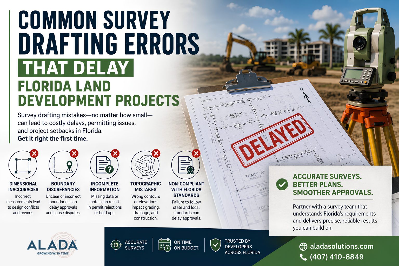
Common Survey Drafting Errors That Delay Florida Land Development Projects
Florida’s land development market is highly competitive, and project timelines are often tight. Whether you’re planning a residential subdivision, commercial development, roadway expansion, or utility infrastructure project, even a minor survey drafting error can trigger costly delays, permit rejections, redesigns, and legal disputes.
Many developers, civil engineers, surveyors, and land planners focus heavily on design and permitting but underestimate the importance of accurate survey drafting. In reality, survey drafting forms the foundation of every successful land development project.
In this guide, we’ll explore the most common survey drafting mistakes that delay Florida land development projects and how professional survey drafting support can help keep projects moving forward.
What Is Survey Drafting in Land Development?
Survey drafting is the process of converting field survey data into detailed digital drawings and plans used by engineers, architects, planners, municipalities, and developers.
These drawings typically include:
- Property boundaries
- Easements
- Rights-of-way
- Topographic features
- Utility locations
- Elevation data
- Existing site conditions
- Legal descriptions
Accurate survey drafting ensures that all project stakeholders work from reliable information during planning, design, permitting, and construction.
Why Survey Drafting Accuracy Matters in Florida
Florida’s land development regulations are among the most detailed in the United States. Local municipalities, counties, and state agencies often require precise documentation before approving development projects.
A single drafting error can result in:
• Permit approval delays
• Construction setbacks
• Increased project costs
• Design revisions
• Legal disputes
• Re-survey requirements
For developers, these delays can impact project profitability and market timelines.
1. Boundary Line Errors
Boundary discrepancies are among the most common causes of project delays.
Common Issues
• Incorrect property dimensions
• Missing boundary markers
• Misinterpreted legal descriptions
• Outdated parcel information
Impact on Development Projects
Boundary inaccuracies can create disputes with neighboring properties and cause municipalities to reject permit applications until corrections are made.
How to Avoid It
Professional survey drafting teams should verify legal descriptions, property records, and field survey data before finalizing plans.
2. Incomplete Topographic Information
Topographic surveys provide critical information about site elevations and terrain conditions.
Common Drafting Mistakes
• Missing elevation points
• Incorrect contour lines
• Inaccurate grading information
• Incomplete terrain representation
Project Risks
Without accurate topographic data, engineers may create flawed grading and drainage plans, leading to redesigns and permit revisions.
Best Practice
Ensure survey drafts include comprehensive elevation and contour data that reflects actual site conditions.
3. Utility Mapping Errors
Underground and above-ground utilities significantly influence project design.
Frequently Seen Issues
• Missing utility locations
• Incorrect utility labels
• Outdated infrastructure data
• Improper utility drafting standards
Consequences
Utility conflicts discovered during construction can halt projects, increase costs, and require emergency redesigns.
Recommended Solution
Integrate utility survey data carefully and verify information with utility providers whenever possible.
4. Easement and Right-of-Way Omissions
Many Florida properties contain easements that affect development rights.
Common Drafting Errors
• Missing access easements
• Incorrect utility easements
• Unrecorded right-of-way information
• Incomplete title data integration
Why It Matters
Overlooking easements can result in permit denials, redesign requirements, or legal challenges after construction begins.
Prevention Strategy
Cross-reference title reports, legal descriptions, and county records during the drafting process.
5. Non-Compliance with Florida Standards
Florida municipalities often require specific drafting formats and survey standards.
Common Compliance Issues
• Incorrect annotation styles
• Missing certifications
• Incomplete survey notes
• Failure to follow local CAD standards
Potential Impact
Non-compliant drawings may be rejected during permit review, causing unnecessary project delays.
Professional Recommendation
Work with survey drafting specialists familiar with Florida land development regulations and local approval requirements.
6. CAD Layer Management Problems
Poor CAD organization creates confusion for engineers and permitting agencies.
Typical Errors
• Incorrect layer naming
• Missing layers
• Overlapping information
• Unorganized drawing structures
Development Challenges
Poorly organized CAD files slow collaboration between project stakeholders and increase revision cycles.
Best Practice
Follow standardized CAD drafting protocols and quality control procedures.
7. Missing Quality Control Reviews
Many survey drafting issues occur because files are submitted without proper review.
Common Oversights
• Typographical errors
• Coordinate discrepancies
• Missing dimensions
• Incomplete annotations
Cost of Errors
Even small mistakes can delay permit approvals and increase engineering review time.
Solution
Implement multi-level quality assurance checks before project submission.
How Survey Drafting Errors Affect Florida Developers
When drafting mistakes occur, developers often experience:
Financial Losses
• Increased engineering costs
• Additional surveying expenses
• Contractor delays
• Permit resubmission fees
Schedule Delays
• Extended approval timelines
• Construction postponements
• Missed project milestones
Reputation Risks
• Reduced client confidence
• Delayed investor returns
• Project management challenges
For Florida developers, avoiding drafting errors is not just about accuracy—it’s about protecting project profitability.
How Alada Solutions Helps Prevent Survey Drafting Delays
At Alada Solutions, we provide professional Land Survey Drafting Support Services for civil engineering firms, survey companies, developers, and land planning professionals across Florida and the United States.
Our drafting team focuses on:
✅ Boundary survey drafting
✅ Topographic survey drafting
✅ ALTA/NSPS survey drafting
✅ Utility mapping support
✅ CAD conversion services
✅ Quality assurance and compliance checks
✅ Fast turnaround times
By combining technical expertise with rigorous quality control, we help clients reduce project delays, improve permitting efficiency, and accelerate land development timelines.
Why Choose Alada Solutions for Survey Drafting Support?
Industry-Focused Expertise
Our team understands the requirements of land development, civil engineering, and surveying projects.
Quality-Driven Process
Every drafting file undergoes multiple review stages before delivery.
Cost-Effective Support
Scale your drafting capacity without increasing in-house overhead costs.
Faster Project Delivery
Receive accurate, organized CAD files that help move projects through design and permitting more efficiently.
(FAQs)
What is the biggest survey drafting mistake in land development?
Boundary line inaccuracies are among the most common and costly drafting errors because they can lead to permit delays and property disputes.
How can survey drafting errors impact project approvals?
Errors can result in rejected permit applications, additional revisions, and longer approval timelines from municipalities.
Why is topographic drafting important for Florida projects?
Accurate topographic data supports grading, drainage, stormwater management, and site design decisions.
Can outsourced survey drafting improve project efficiency?
Yes. Professional survey drafting support helps engineering and surveying firms reduce workloads, improve accuracy, and meet project deadlines.
Does Alada Solutions provide survey drafting services for Florida projects?
Yes. Alada Solutions provides land survey drafting support for developers, civil engineering firms, and surveying companies working on projects throughout Florida.
Final Thoughts
Survey drafting is one of the most critical components of successful land development. Small drafting mistakes can quickly become expensive project delays, permit issues, and construction setbacks.
By partnering with an experienced survey drafting support provider like Alada Solutions, developers and engineering firms can improve drawing accuracy, reduce approval delays, and keep projects moving forward.
Need Accurate Survey Drafting Support for Your Florida Development Project?
Alada Solutions delivers reliable, high-quality land survey drafting services that help engineers, surveyors, and developers complete projects faster and with greater confidence.
Contact Alada Solutions today to discuss your survey drafting requirements and streamline your next Florida land development project.